US Map: Interstate, Cities, Airports
in ABIS BOOK
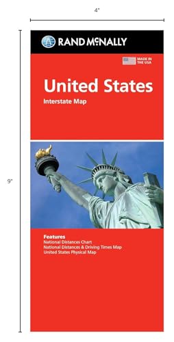
Product Description
Get the best view of the United States with Rand McNally's Easy to Read map, featuring clear and concise cartography. This folded map is perfect for travelers, road trippers, and anyone looking for a comprehensive guide to the country.
- Clearly marked Interstate and U.S. highways for easy navigation
- Cities, points of interest, and airports indicated for convenient planning
- State and national boundaries shown for reference
- Folded design for easy storage and portability
With Rand McNally's United States map, you'll have all the information you need to plan your next adventure. Whether you're driving across the country or exploring a new city, this map is the perfect companion.
US Map: Interstate, Cities, Airports Price in USA
$9.59
Amazon
$10.08
Walmart
$9.99
Barnes and Noble

![Saving Noah by Lucinda Berry [Paperback]](https://avluzmedia.s3-us-west-1.amazonaws.com/uploads/411v5IWLAwL.jpg)