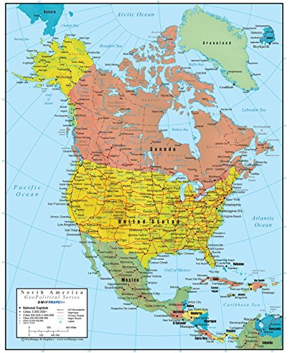
Swiftmaps North America Wall Map: GeoPolitical Edition
Product Description
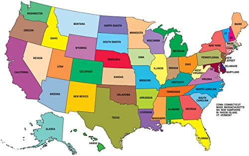
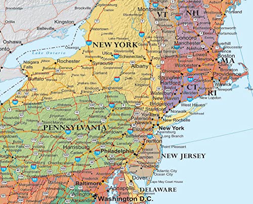
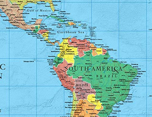
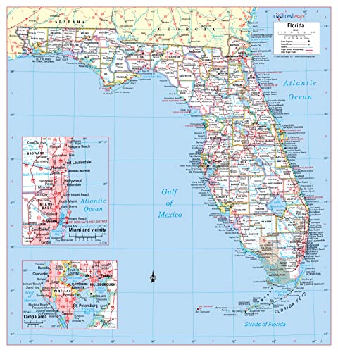
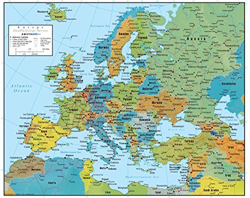
Product Overview: The North America Wall Map GeoPolitical Edition by Swiftmaps is a comprehensive and detailed map designed for office or educational use. As a leading brand in the category of office products, specifically maps, Swiftmaps offers this 18x22 laminated map that stands out for its unique 2-in-1 feature, combining important political map data with an extra 3D-shaded layer of physical map relief. This product is ideal for professionals, educators, and individuals interested in geography, politics, and international relations.
- Key Features & Benefits:
- Includes both political and physical map data for a comprehensive understanding of North America.
- Features a 3D-shaded layer of physical map relief for enhanced visual appeal and educational value.
- Measures 18x22 inches, making it a perfect size for small to medium-sized offices, classrooms, or study areas.
- Laminated for durability and ease of cleaning, ensuring the map remains in good condition over time.
- Provides detailed geographical and political information, including country boundaries, cities, and other significant locations.
- Swiftmaps' reputation for quality and accuracy ensures that the map is reliable and trustworthy for educational or professional purposes.
- The GeoPolitical Edition is particularly useful for those studying or working in fields related to international relations, geopolitics, or environmental science.
Specifications & Details: The North America Wall Map GeoPolitical Edition by Swiftmaps measures 18x22 inches and is laminated for protection. While specific weight and material details beyond lamination are not provided, the product's size and lamination suggest it is designed to be durable and long-lasting. Compatibility with standard office wall hanging fixtures is expected, but users should verify the specific hanging requirements based on their environment.
Why Choose This Product: For those in need of a detailed and informative map of North America that includes both political boundaries and physical geography, the North America Wall Map GeoPolitical Edition by Swiftmaps is an excellent choice. Compared to alternatives, this map offers the unique benefit of its 2-in-1 design, making it a valuable resource for educational settings, professional offices, or personal study. Given its quality, features, and the reputation of Swiftmaps, this product represents a smart purchase for anyone seeking a comprehensive and durable North America wall map. Whether you're an educator looking for a teaching tool, a professional needing reference material, or an individual with an interest in geography, this map is designed to meet your needs effectively.